

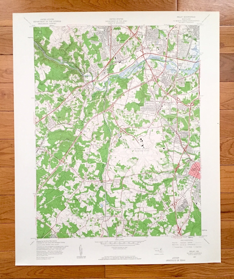


Antique Relay, Maryland 1957 US Geological Survey Topographic sale Map – Baltimore, Howard, Anne Arundel County, Halethorpe, Lansdowne, MD
Beautiful, antique map of Relay, Maryland and surrounding Baltimore County, Howard County, and Anne Arundel County areas. This is an authentic 1957 edition, 1960 print from the U.S. Geological Survey and NOT a computer reproduction.
See what Maryland looked like over 60 years ago. Lots of intricate details and geological contours. Map even has little squares for every house that existed at the time. The USGS cartographers were very thorough back then!
Perfect for the historian, map-lover, the curious or just as a conversation starter sale. Wonderful and rare. Vintage maps such as this make great gifts.
Edition of 1957, printed 1960
Dimensions: 22" width x 27" height
----
Cities & Towns: Elkridge, Halethorpe, Lansdowne, Glenartney, Avalon, St Denise, Cowdensville, Arbutus, Clifford, English Consul, Monumental, Rosemont, Baltimore Heights, West Elkridge, Patapsco, Raynor Heights, North Linthicum, Pumphrey, Linthicum Heights, Harwood Park, Ehrmansville, Hanover, Stony Run, Woodlawn Heights, Garland, Garland Park, Ferndale, Dorsey, Shipley Corner, Harmans, McPherson, Burleytown, Severn, Stewart Corner, Glen Burnie.
Points of Interest: Patapsco State Park, Fort George G Meade Military Reservation, Baltimore Friendship International Airport, Patapsco River, Stony Run, Cabin Branch, Rockburn Branch, Deep Run, Sawmill Creek, and many more hills, streams, ponds, houses, schools, railroads, churches and roads.
Condition: Very Good Vintage condition, commensurate with age. This map is in great shape for being over 60 years old. Has light edge-wear and a library stamp on the bottom margin, all of which will read as character when framed.
----
We will happily adjust shipping price for multiple purchases. Maps are rolled up and shipped in sturdy mailing tubes, never folded.